Choose Roads with Context
Selecting a Norwegian mountain route requires distinguishing between year-round arterial trunk roads and seasonal heritage passes. While automated navigation apps often suggest the shortest line by distance, a narrow county road with 10% hairpins demands far more concentration than a modernised valley tunnel below it.
Before committing to a high crossing, evaluate road width, seasonal opening dates, coach traffic windows, and parallel tunnel alternatives.
Key Mountain Corridors Compared
The table below outlines operational characteristics for six major crossings frequently driven by self-drive visitors. Dates represent typical historical clearance windows; snow depth and rockfall assessments govern exact openings each spring.
| Mountain Pass & Route | Peak Elevation | Typical Open Window | Carriageway Character | All-Weather Alternative |
|---|---|---|---|---|
| Sognefjellet (Fv55) Lom to Gaupne |
1,434 m | Early May – November | Two-lane across plateau; narrow steep switchbacks descending toward Turtagrø and Skjolden. | E16 Filefjell via Lærdal |
| Aurlandsfjellet (Fv5627) Aurland to Lærdalsøyri |
1,306 m | Early June – October | Single-track sections with passing bays above Stegastein; barren snow-lined plateau. | Lærdalstunnelen (E16, 24.5 km) |
| Valdresflye (Fv51) Beitostølen to Vågå |
1,389 m | Mid-April – December | Wide, flowing sightlines over open tundra; subject to strong crosswinds and sudden sleet. | E6 Gudbrandsdalen |
| Gamle Strynefjellsvegen (Fv258) Grotli to Videseter |
1,139 m | Mid-June – October | 27 km historic gravel surface lined with hand-laid guard stones; narrow and unhurried. | Rv15 Strynefjellet tunnels |
| Hardangervidda (Rv7) Geilo to Eidfjord |
1,250 m | Year-round (Convoy in winter) | Well-aligned two-lane trunk road across Europe's largest high mountain plateau; descent via Måbødalen tunnels. | E134 Haukelifjell or E16 |
| Trollstigen (Fv63) Åndalsnes to Valldal |
858 m | Late May – October (Subject to rockfall checks) | Eleven tight 180-degree hairpins carved into a rock face; vehicle length capped at 13.1 m. | E136 Romsdalen to Ålesund |
Managing Coach Windows and Passing Bays
On routes such as Fv63 (Trollstigen and Geiranger–Dalsnibba) or the climb from Aurland to the Stegastein viewpoint, excursion buses operate in concentrated waves between 10:00 and 15:30 whenever cruise ships dock in Geirangerfjord or Flåm.
Planning your ascent before 09:00 or after 16:30 transforms the driving experience. Sightlines remain clear, passing bays stay unoccupied, and you can maintain a smooth, mechanical rhythm without queuing on steep gradients.
-
Uphill Priority & Practical Courtesy
Heavy vehicles climbing a gradient lose momentum rapidly if forced to stop. Whenever safe, allow ascending lorries and buses clear passage by holding early in a wider bay.
-
Spiral & Unlit Rock Tunnels
Descents like Måbødalen (Rv7) or Ofredal feature curved tunnels cut directly through gneiss. Remove sunglasses before entry, verify dipped headlights are active, and watch for cyclists carrying high-lumen tail lights.
Livestock, Cycling Groups, and Plateau Sightlines
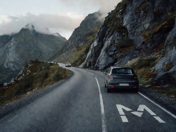
Once above the birch treeline—typically around 900 to 1,000 metres in southern Norway—fencing disappears. Sheep, and in areas like Jotunheimen, Filefjell, and Dovrefjell, domestic or wild reindeer herds, frequently rest directly on warm asphalt or inside tunnel mouths to escape summer insects.
Treat every crest and rock-wall bend as if livestock may be standing stationary across the lane. Similarly, summer brings touring cyclists labouring up gradients at 8 km/h. Wait until you have full visibility of the oncoming lane before overtaking, giving riders at least 1.5 metres of lateral buffer.
Next: Set Up Your Vehicle